Representations of Piraeus
Pictorial representations of individual sites/buildings in Neoclassical Piraeus and written sources reflect the dynamics of the transformation of the residential complex from village to city.
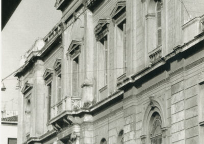
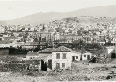
Photos
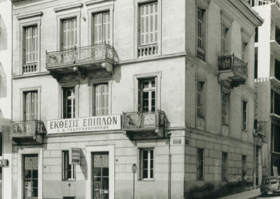
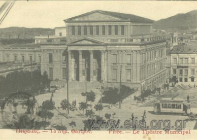
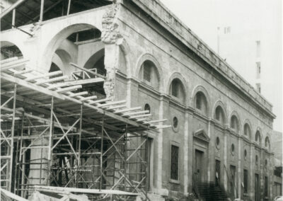
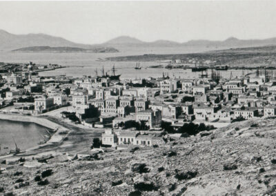
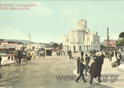
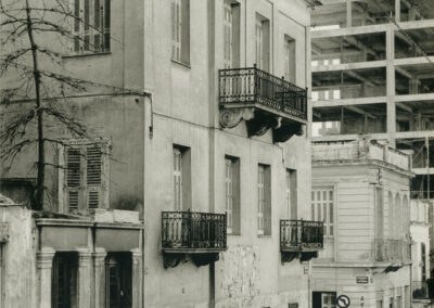
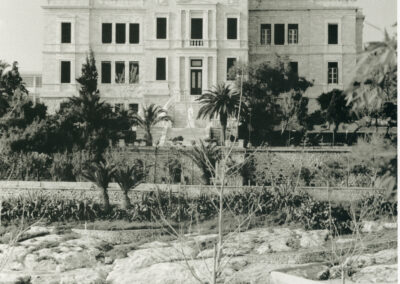
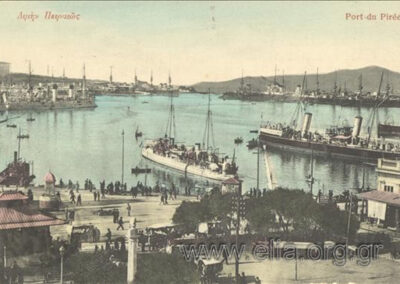
The urban area is projected through the photographs of the 19th century, providing rich content for conclusions. The large public buildings, erected in the middle and end of the 19th century are quite characteristic. Some of them, such as the Customs House, the Church of Agios Spyridon, the Feraldis Mansion as well as the Municipal Market, are in the foreground in the photographic impressions and postcards of the time, pictorial testimonies of a bygone era.
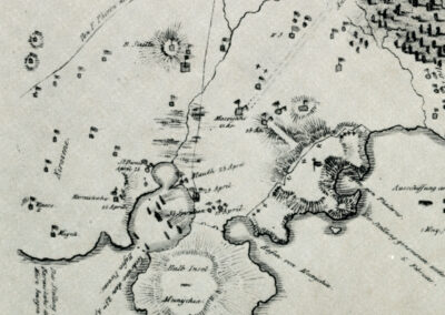
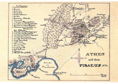
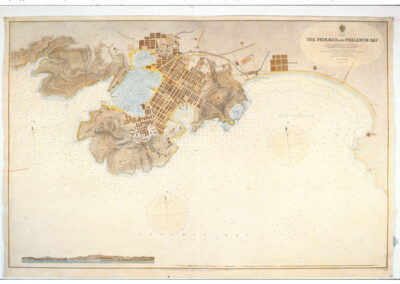
Maps
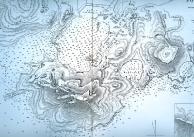
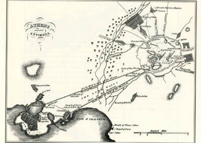
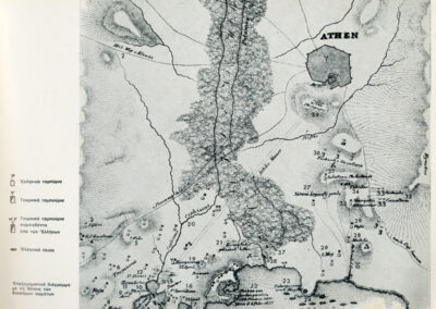
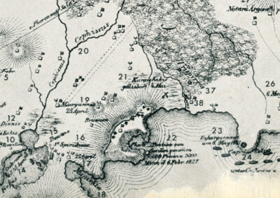
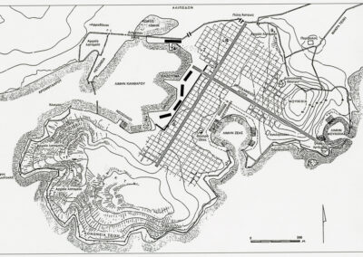
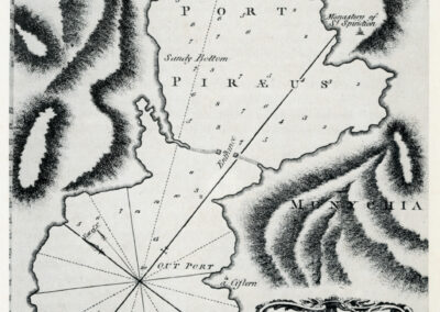
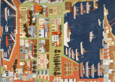
Maps are a supplementary source for determining primarily the outer limits of the city, but are unreliable for internal density. The mapping of the city was done with the rudimentary topographical methods that were at their disposal; however, they provide important information on the evolution of the residential fabric and the landscape.
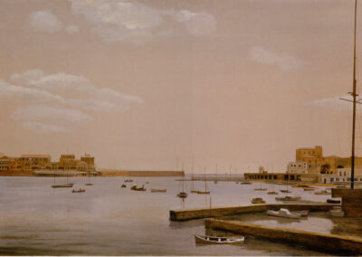
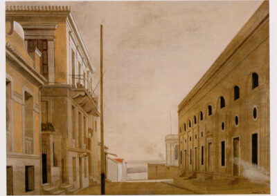
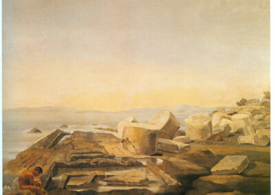
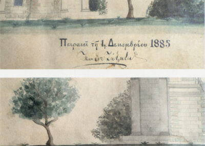
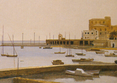
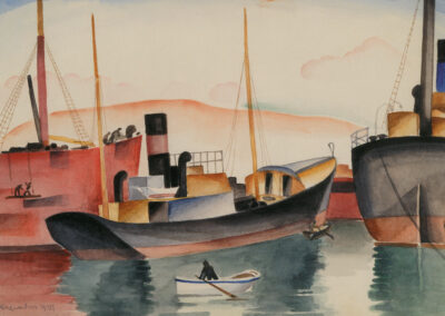
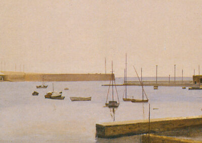
Paintings
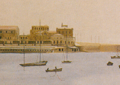
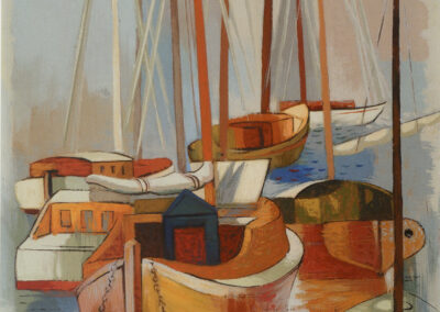
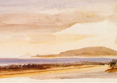
Paintings and mainly lithographic illustrations were made from direct observation and, later, from photographic prototypes. The engravers’ zeal for photorealistic accuracy gives the illustrations the character of a reliable source.
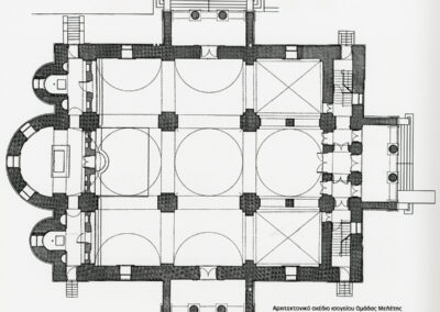
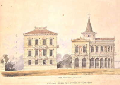
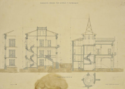
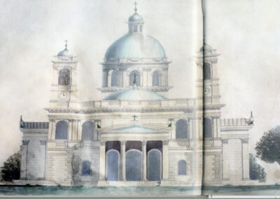
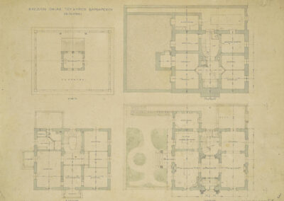
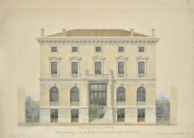
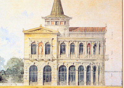
Architectural plans
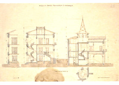
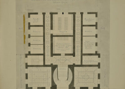
The surviving architectural plans of important buildings by notable architects of Piraeus offer ancillary data and information about the buildings that gradually composed the appearance of the urban area.
Literary texts
The cartography in literature from and around Piraeus is extensive, but not exhaustive. A multitude of city spots, each with its special characteristics, is recorded in space and time, through its respective literary snapshots.

